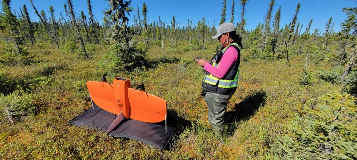
In the summer of 2022, Marten Falls First Nation and Four Rivers worked closely with Natural Resources Canada (NRCan) to undertake a novel research program using drones and ground photos to identify the ‘caribou lichens’ required to support healthy caribou populations. The observed decline in caribou populations has been a major concern to many Matawa member First Nations, including Marten Falls First Nation. Many factors (including lichen availability) can influence caribou population dynamics and behaviour, such as climate change, developments, predators, hunting, insects/parasites, diseases, wildfires, and extreme weather. The goal of this project was to provide information on the amount/quality of lichen available to help determine if caribou have enough food to make it through winter. The new research method developed by NRCan involved scaling-up through photographs from the ground, via drones and satellite imagery to accurately map caribou lichens at regional scales. This project saw several Marten Falls’ members/Four Rivers staff travelling throughout Marten Falls’ homelands to capture photos of lichen areas using cameras and high-tech drones.
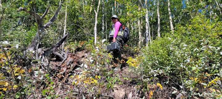
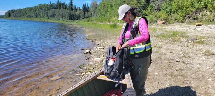
‘This project was quite the challenge, between poor weather and hauling heavy drone equipment on boats/across the muskeg, but we were happy to get it done!’ Jasmine Baxter, Environmental Technician & member of Marten Falls First Nation
An interactive Story Map on this project was published by NRCan with the assistance of Four Rivers and is available online here: https://storymaps.arcgis.com/stories/2bb940b2d3bd4d94b5dea08169c12bf3


